UK records warmest day of the year with temperatures exceeding 18C

A feel of spring in the air for some - daffodils shone in the late February sun in London on Wednesday
- Published
Temperatures have climbed to their highest so far this year with the Met Office recording 18.7C at Kew Gardens, London on Wednesday afternoon.
Many parts of East Anglia and south-east England saw the thermometer rise above 17C with lots of sunshine.
Although milder than average, cloud and rain further north and west across the UK meant temperatures were more limited to the low to mid-teens.
A change to a milder southerly wind has given temperatures a boost, as well as the vivid sunsets as a plume of Saharan dust was transported towards the UK.

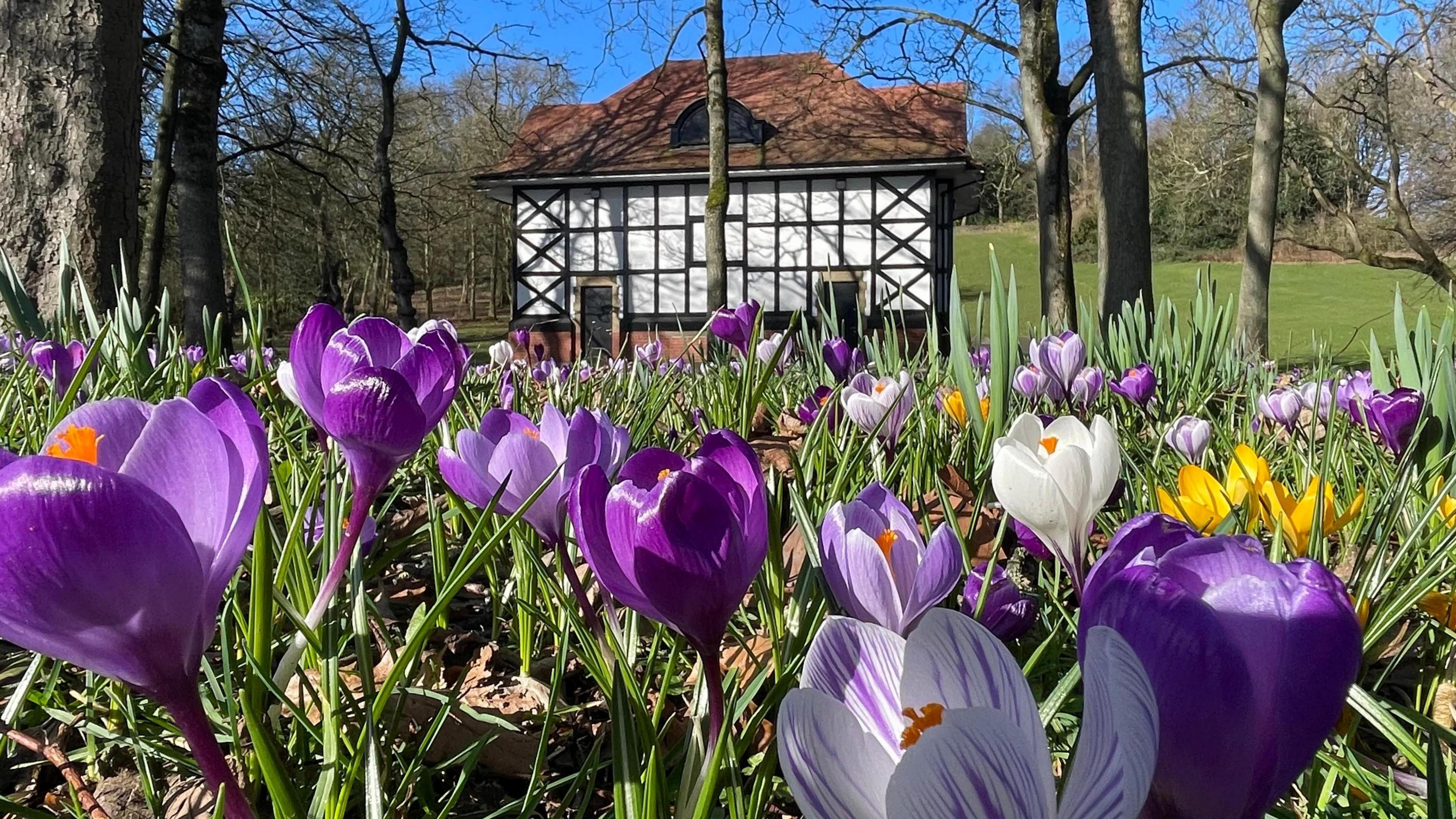
Spring looks and feels like it has 'sprung' in Berkshire on Wednesday lunchtime as temperatures rise to the high teens
Will it stay warm?
The last time the temperature reached 18C was 13 November 2025. The record for February is 21.2C (70.2F) on 26 February 2019 at Kew Gardens.
Wednesday was likely to be the peak of the warmth this week, with temperatures gradually dropping through the rest of the week to average on Saturday.
There could even be a touch of frost in rural areas of Scotland and Northern Ireland on Saturday morning.
Milder air will then start to move back in across the UK into next week with temperatures back up to the low to mid-teens for many.
There'll also be some lengthy dry weather with sunshine making it feel quite pleasant as we head into March and the start of meteorological spring.
When does spring start?
- Published3 days ago
Golden sunsets and sunrises

Saharan dust in the atmosphere can make sunrises and sunsets look especially dramatic and vibrant
The warmer southerly wind is helping draw up a plume of Saharan dust to the UK.
The dust has been picked up high into the atmosphere and is carried thousands of miles before gradually filtering down toward the surface.
As the fine particles scatter sunlight, they can enhance reds and oranges at dawn and dusk when conditions are right.
If the dust also combines with spells of rain, it can lead to what is often referred to as "blood rain", leaving behind a thin, dirty residue on cars, windows and outdoor surfaces.
While it can appear dramatic, this is a relatively common and entirely natural seasonal event in the UK.
Episodes of Saharan dust transport occur several times a year, most often in late winter and spring, when southerly winds draw warm air northwards from north Africa towards the UK.
Could there be more flooding?

The ground is still saturated in some places after weeks of rain
Generally it hasn't been as wet for the last week or so. However, areas of low pressure and spells of rain will continue to be driven over the UK at times as we head into spring.
The wettest weather is expected to be over western hills, particularly in western Scotland. There won't be much rainfall in eastern parts of England - a typical pattern for this time of year.
Given the saturated ground in some parts, the risk of flooding will remain a concern well in to March.
Get in touch
Send us your spring pictures. Also, tell us about your worst weather experiences of this winter.
- Published14 August 2025